Gargano National Park, Italy
Pilot Description
Gargano is a historical and geographical sub-region in the province of Foggia, Apulia, southeast Italy, consisting of a wide isolated mountain massif made of highland and several peaks and forming the backbone of the Gargano Promontory projecting into the Adriatic Sea.
The Gargano National Park, one of the Italian project pilots jointly with the Park of Tepilora in Sardinia, is a National Park established in 1991 (according to art. 19 of Law 394/91) and is located on the promontory of the same name, in the province of Foggia, in the Puglia Region, Italy.
It is managed by the Gargano National Park Authority, covering nearly the entire promontory, and extends over an area of about 120,000 hectares, including totally or partially, 18 municipalities, including the Tremiti Islands.
The location of the park on the Mediterranean Sea lends to a climate of high temperatures and moist conditions with precipitation during every season. The temperature change throughout the year is gradual and moderate, with the warmest month of the year being July with an average high of 88.9 degrees Fahrenheit, and the coldest month being January with an average high of 52.9 degrees Fahrenheit.
Data concerning the years from 2003 to 2012 (AIB for the planning of the activities of prediction, prevention and active fight against forest fires in the Gargano National Park) show that fires in the Gargano area occur almost exclusively in summer (during June, July, August, and September).
ASSET will coordinate, in collaboration with FINCONS, the Italian Pilot, that will be organised according to the following 3 Phases.
Phase A
Prevention & Preparedness
The “prevention and preparedness” phase will foresee activities aimed at improving the reporting of fire risks, including the specification of significantly vulnerable areas, the continuous monitoring to prevent risks with the enhancement of detection technologies, the engagement and awareness activities of citizens, as well as the interconnection between the key players involved in the process (e.g. Gargano National Park Authority, Civil Protection of Regione Puglia).
Phase B
Detection & Response Activities
The “detection and response” phase will include activities aimed at improving early detection and monitoring of fires according to innovative technologies and communication infrastructures, sensors, and air and /or ground vehicles, integration and modeling-based data analysis meteorological and application of decision support systems.
ASSET will develop the scenario demonstration in coordination with other key stakeholders.
Phase C
Restoration & Adaptation
The “restoration and adaptation” phase will include activities aimed at building a knowledge base useful for orienting the restoration policies and the scenarios of forest and landscape regeneration. These activities will be supported by the decision support tool for the evaluation of the optimal alternatives for forecasting and mitigating impacts from a resilient perspective.
This phase will foresee the involvement of different stakeholders according to a participatory process and will be aimed at promoting sustainable actions for the forest and its biodiversity.
Pilot Implementation
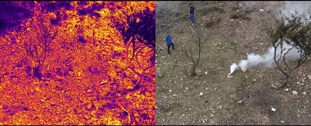
As a preview for the 2024 pilot implementation, SILVANUS Consortium members ASSET and FINCONS have on October 5th 2023 mapped the burned area with a drone, and tested thermal cameras for detecting fires or people endangered by wildfire. The results were presented at the meeting on 13 October held at ASSET with the participation, in presence or remotely, of the project partners and local stakeholders such as the Civil Protection and Regional Agency for Irrigation and Forestry.

2024 Pilot Implementation
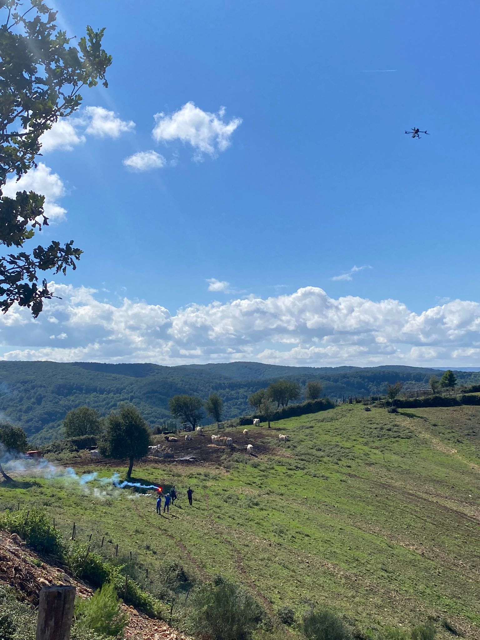
SILVANUS team has tested the fully integrated technological and information pilot through an elaborate pilot demonstration on September 24th and 25th, 2024.
Organised by SILVANUS Consortium partner ASSET – Strategic Regional Agency for the Eco-sustainable Development of the Territory in Apulia Region, and supported by Civil Protection Agency and ARIF Regione Puglia – Regional Agency for Forestry and Activities, this is one of two pilots in Italy conducted in 2024.
The pilot activities included a fire simulation, which was contained and suppressed with the help of SILVANUS platform components, such as:
- Drone Monitoring of Wildfire Behaviour
- Fire Detection at the Edge using Drone Data
- Fire Detection based on Social Sensing
- Fire Spread Forecast Model
- MESH-in-the-Sky
- Forward Command Centre
- Woode Biodiversity Indexing App
- SILVANUS Citizen Engagement App
After the testing of the platform, activities were focused on the reforestation area, including inspection and evaluation of planted trees, as part of Phase C activities.

