Queensland Centre for Advanced Technologies , Australia
Pilot Description
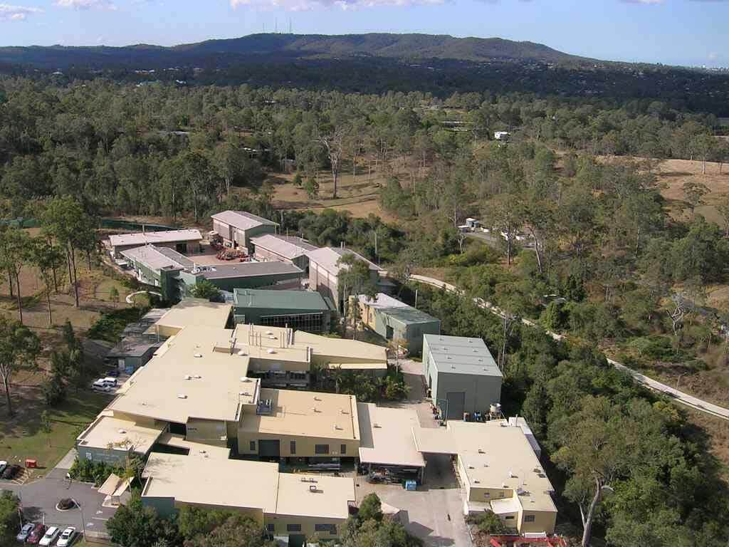
The Queensland Centre for Advanced Technologies (QCAT) site is located in southeastern part of the state of Queensland in Australia. A significant part of the site is composed of bushland. Apart from a large vegetated area, QCAT hosts CSIRO’s research facilities and administration buildings. More precisely, QCAT sits approximately 20 km west of the Brisbane city centre in the suburb of Pullenvale at a latitude of approximately 27 degrees south. With a subtropical climate, the area is diverse with sparse and dense forests, including hilly and flat terrain, wetlands and a creek, covering about 300.000 square meters. The site is an excellent representation of the general Australian bushland, serving as an ideal site for testing and illustrating the capability of ground robots in the prevention and mitigation of fire. A large proportion of Australia’s bushfires occur in areas very similar to our pilot site.
Most of CSIRO’s robotics development and testing is also carried out at QCAT, so the efficiency is improved given the in loco operations without the need for extensive travel for demonstrations. The terrain contains low grass and high grass as well as obstacle free and obstacle rich areas, allowing for varying degrees of difficulty for autonomous robot navigation.
The main objective of the pilot is to illustrate the capability of ground robots to navigate autonomously in this type of environment, such that the platforms can be used for environmental understanding towards fire prevention as well as fire mitigation.
In the different phases of SILVANUS, the navigation capability of the ground robots will be demonstrated by generating navigation “tasks”. Initially, the ground robot will travel from a given point A to a given point B with distance D and simple terrain (ie. low grass). Gradually, as technology is improved, D is increased and the obstacle difficulty is also made more complex, with various trees and taller grass.
Phase A
Prevention & Preparedness
Ground tracked or wheeled robot traversing 50m through moderate grassland and avoiding large obstacles (ie large trees). This includes the perception, path planning and control modules with prior maps.
Phase B
Detection & Response Activities
Ground tracked or wheeled robot traversing 50m through high grassland and avoiding and interacting with multiple obstacles (ie large trees, small trees, bushes, etc). This includes the perception, path planning and control modules operating in exploration mode without prior maps.
Pilot Implementation
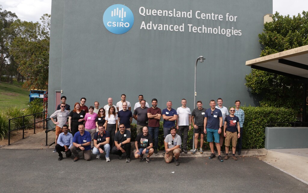
The Australian pilot exercise was conducted at the Queensland Centre of Advanced Technologies in November 2023.
Unmanned Ground Vehicles (ground robots) were tested for investigating the terrain and smoke detection information to feed the SILVANUS platform data for the purpose of wildfire suppresion. Fire detection IoT devices by SILVANUS partner Catalink were also providing information based on early signals of smoke in the forest.
The Robotics and Autonomous Systems Group’s facilities provided an ideal location for testing UGVs, one of the user products of the SILVANUS platform. Multiple ground robots were tested for smoke detection, sharing their acquired maps and adapting to new obstacles that were placed in their path (autonomous navigation and exploration).
More in the video below!

