Fire Detection using UAVs (Drones)
The Unmanned Aerial Vehicle

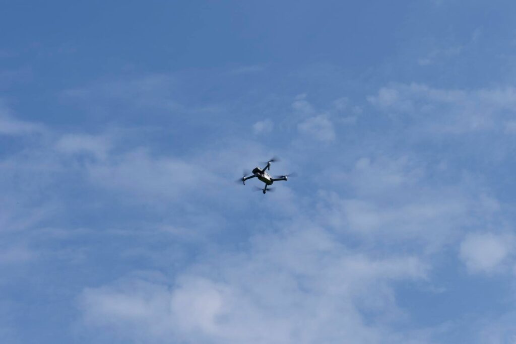
This User Product component provides a full algorithmic solution based on Artificial Intelligence and Computational Geometry to support the use of Unmanned Aerial Vehicles, also known as drones to effectively survey areas affected by wildfires from the air.
By entirely automating the process of calculating smart work division and optimized sweeping pattern trajectories for the drones, the User Product cuts through the operator’s complexity burden, saving substantial time, guaranteeing optimal use of resources and allowing adaptive, on-the-fly mission planning and decision support in the command center.
UAV fleets are a lightweight and convenient solution to seamlessly cover large zones quickly with multiple sensor types (cameras, thermal sensors, lidars) so as to procure the information necessary to either detect new wildfires or monitor existing ones while avoiding to put human personnel in any close contact with the danger zone.
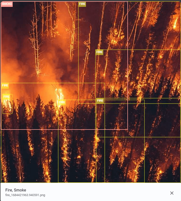
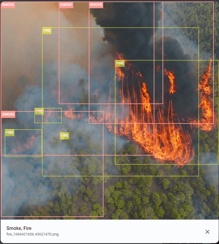
To complete the User Product, the footage or video taken by the UAV fleet is then analysed using Artificial intelligence solution in order to detect fire and smoke automatically. AI solution can analyse footage in real time (on board of the drones) or just images if the drone has not computer power capabilities (light drones). On detection, the result of the analysis, alongside with the images, are then sent to central console to raise an alert for the human operator to consider

